Mauritius
Drone mapping of sites in Mauritius
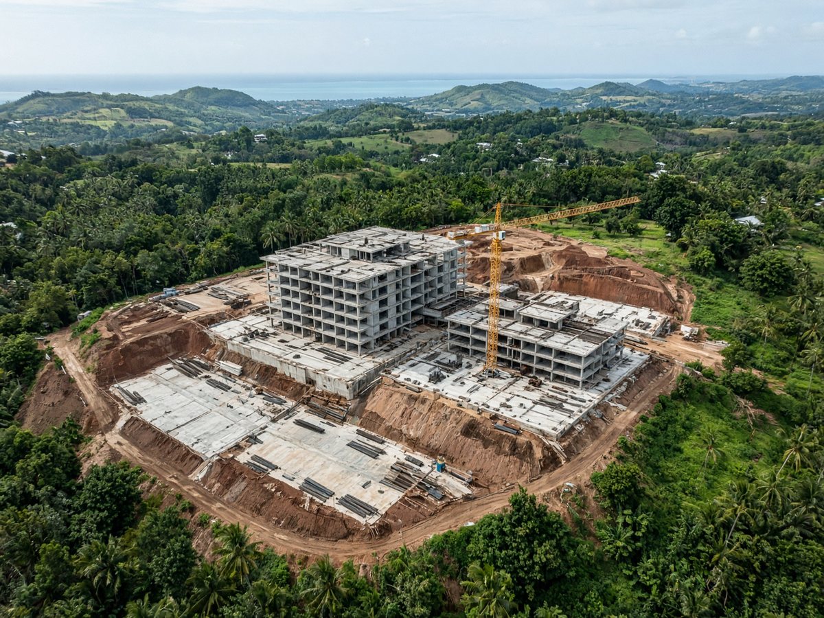
We fly the site and deliver an orthomosaic — a true-to-ground image of the land as it is today. Construction teams and landowners use it to see the whole plot in one view.
This is an aerial record of the ground. It is not a cadastral survey.
What you get
A top-down map of the site, built from the flight. You can use it to plan a layout, an access route, or simply to keep a dated record of the land.
Who it is for
Construction sites and land in Mauritius. Useful before work starts, after it has moved on, or when you need a clear overview of a plot.
How it works
01
We visit and fly the area you name.
02
We turn the flight into an orthomosaic and site map.
03
You receive the files.
Get in touch
Tell us the site. We reply at info@cleanslate.mu or +230 282 7704.
Clean Slate
Zone Industrielle de Brista
Goodlands
Mauritius