Mauritius
3D site models from a drone flight
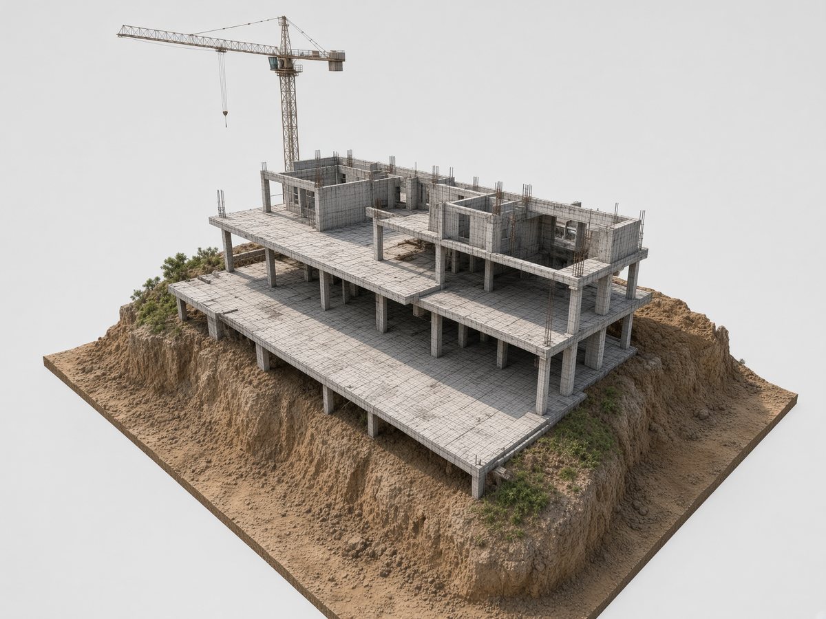
A model you can move around, not a single photograph. We fly the site and build a 3D view of the place, dated, to review from a desk and to keep on file.
This is a visual model of the site as flown. It is not a cadastral survey.
What you get
A 3D view of the plot or site, built from the imagery. Use it to see how the land sits, to walk a layout with others, or to keep a record of the place at a point in time.
Who it is for
Construction teams and landowners in Mauritius who need more than a flat photograph — a view of the ground you can turn and look at.
How it works
01
We visit and fly the area you name.
02
We turn the flight into a 3D view.
03
You receive the files.
Get in touch
Tell us the site. We reply at info@cleanslate.mu or +230 282 7704.
Clean Slate
Zone Industrielle de Brista
Goodlands
Mauritius